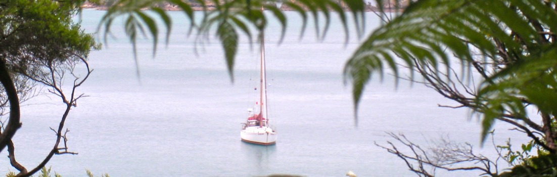
OpenCPN
We started using OpenCPN as our navigation software shortly after arriving in New Zealand last year. Since then we have covered over 2000 miles in both offshore and coastal sailing using OpenCPN with both vector and raster charts.
Prior to using OpenCPN we mostly used SeaClear, but we have also used Seamap and have seen other programs and chart plotters on other boats. OpenCPN is the best that we have seen. It is easier to use and clearer to understand than its competitors. It is also free ( as in speach as well as in beer ). Free charts are available from several sources. Finally, it is faster than many of its competitors.
We've been cruising the North Coast of Vanua Levu, in Fiji, for which extremely accurate electronic charts are available (CM93 2010 edition). However, there are no other boats in any of the dozens of bays here. One reason for this is that the expensive charts for the chart plotters are terrible here. We have at least ten times more detail and information than I saw on people's chartplotters. And since we don't have a chart plotter, we can use whatever charts we choose, rather than being forced to use the charts that match the plotter.
OpenCPN is available for every OS. We run OpenCPN on an XO, which is a small, ruggedized laptop designed for children. We run Sugar/Fedora as our operating system, which is a form of Linux. A ruggedized laptop is a great platform for navigation software, but I imagine that a cheap netbook would survive long enough on a boat that it is the most cost effective option. ( On that note, every boat out here has one or more non-rugged laptops on board and they live as long on a damp, somewhat salty boat as they do in an office.)
Every boater should try OpenCPN.

Sounds like a good solution. We've also found that cached Google Earth images have been helpful in dodging the reefs. The commercial charts we have are way off.
fascinating
thanks for the update
bon voyage
Hi! I'm glad it's useful even where you are! We started using Open CPN a year ago (before that we used Sailcruiser which works off a C-map platform, but can use any electronic charts). When our computer died, we decided to to try open CPN since it was free and available, (we still need to contact the manufacturer to be able to use Sailcruiser again on a new computer.) Interestingly, they're very comparable except Sailcruiser was $400... sigh.