Fiji Waypoints
We've compiled this set of waypoints (.zip) from various sources on our trip around Fiji. We started in Savu Savu, travelled counter clockwise three quarters of the way around Vanua Levu, across the north and west sides of Viti Levu, and into the Yasawas. We do not have waypoints for the rest of Fiji, so we exclude the Lau group, Kadava, and eastern Viti Levu. Many of the waypoints are courtesy of Billabong. Either we or they have been to each of these waypoints.
The waypoints are gpx formatted for use with OpenCPN. They are split into three files based on geography as OpenCPN's route manager gets sluggish with too much data. You can just import them one after the other to get all of the data together.
The waypoints that are "anchor" symbols are exactly where we dropped our anchor. The "anchorage" symbols are either less precise or from Billabong. The geometric symbols are used interchangeably and are all fairway markers (ie. you should sail right over top of them).
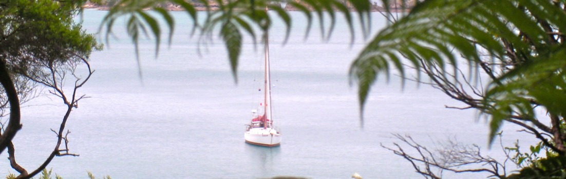
For reference, Scream is a cutter-rigged sloop that draws 2.2m (6.5') and is 4m (13'6") at the beam. All of these waypoints have at least 3m at low water, and outside the anchorages all of these waypoints have at least 5m.
Of course, the prudent mariner will not rely on one source of navigation data alone.
I hope that you find these useful.

Heh. "the prudent mariner will not rely on one source of navigation data."
Brings me back to my days at DMA...
(Defense Mapping Agency, the agency that makes most of the US nautical charts, now NIMA or NMA or some other acronym.)
That's great you guys did that! (And we use open CPN) - so we may very well get use out of that info! 🙂
looking forward to showing me this in person some day, as there are not enough references in your write up for the non mariner.
still listen in on 14.300 MHz USB now and then.
bon voyage